

Ipsa Tripathy
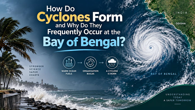
Bhubaneswar: A cyclone does not begin as a giant storm. It usually starts as a disturbance in the atmosphere: a region of low pressure, a cluster of thunderstorms, or an area of rotating air. Under the right oceanic and atmospheric conditions, that disturbance can organise, strengthen and eventually become a tropical cyclone.The Bay of Bengal is one of the most active cyclone regions in the North Indian Ocean. On average, it experiences substantially more tropical cyclones than the Arabian Sea. But the reason is not simply that the Bay is “warmer”. Cyclone formation depends on several conditions working together.
How a cyclone begins
Tropical cyclones are powered primarily by heat and moisture from warm ocean water.When the ocean surface is sufficiently warm, evaporation supplies large amounts of water vapour to the atmosphere. If this moist air rises, the water vapour condenses into clouds and thunderstorms. Condensation releases latent heat, warming the surrounding air. The warmer air becomes less dense and rises further, helping lower the surface pressure.This creates a feedback process. Lower pressure encourages more air to converge near the surface, while rising moist air releases additional heat. If the circulation becomes sufficiently organised, the system can intensify into a tropical cyclone.Warm water alone, however, is not enough.
A developing cyclone also requires favourable atmospheric conditions, including sufficient moisture, low or moderate vertical wind shear and an existing source of atmospheric rotation. IMD’s cyclone research identifies parameters such as low-level vorticity, atmospheric moisture, ocean thermal energy and vertical wind shear as important factors in cyclogenesis. The Coriolis effect, caused by Earth’s rotation, also matters. It allows a developing low-pressure circulation to acquire a coherent rotation. This is why tropical cyclones generally do not form directly over the equator, where the Coriolis effect is very weak.
Why the Bay of Bengal matters
The Bay of Bengal has several physical characteristics that favour cyclone development.First is its warm tropical ocean. Sea-surface temperatures frequently reach levels capable of supporting tropical cyclone development, particularly during the pre-monsoon and post-monsoon cyclone seasons. IMD identifies April–May and October–December as important periods for cyclone activity over the North Indian Ocean.
Second is the enormous amount of freshwater entering the Bay. Major rivers, including the Ganga, Brahmaputra and Irrawaddy, discharge freshwater into the northern Bay. This freshwater makes the upper ocean less salty and therefore less dense.That matters because it can create a strong layer of relatively fresh water above warmer, saltier water. The resulting density structure suppresses vertical mixing between the surface and deeper ocean. When a cyclone passes over the ocean, its strong winds normally mix cooler subsurface water upward, which can reduce the sea-surface temperature and weaken the storm’s energy supply.
In parts of the Bay, however, strong upper-ocean stratification can limit this cooling. Observations from cyclones including Titli and Gaja have demonstrated the importance of freshwater-related stratification and subsurface warm water in controlling how the ocean responds to cyclone passage. This is an important distinction: the Bay does not simply provide warm water. Its structure can sometimes allow warm water to remain available beneath the surface when a cyclone is passing overhead.
The role of wind shear
Another crucial factor is vertical wind shear, the difference in wind speed or direction between different levels of the atmosphere.Strong wind shear can tilt or disrupt a developing tropical cyclone. The thunderstorms that provide the storm’s energy can become displaced from the centre of circulation, making organisation more difficult.
Lower wind shear, by contrast, allows the circulation and thunderstorms to remain better organised. IMD analyses have identified vertical wind shear as an important factor in determining whether cyclonic systems over the North Indian Ocean strengthen or weaken. The Bay of Bengal frequently experiences combinations of warm ocean conditions, atmospheric moisture, low-level rotation and favourable wind-shear conditions during its main cyclone seasons.
The monsoon changes the equation
The Bay is also strongly influenced by the Indian monsoon.During the monsoon, the large-scale circulation and wind patterns are generally less favourable for the development of intense tropical cyclones in many parts of the North Indian Ocean. Instead, low-pressure systems and monsoon depressions are common.
After the southwest monsoon retreats, atmospheric conditions change. The post-monsoon period, particularly October to December, becomes the major cyclone season over the North Indian Ocean, with the Bay of Bengal particularly active.This explains why the Bay can appear relatively quiet for part of the year and then produce several significant cyclonic systems within a comparatively short period.
Why the difference from the Arabian Sea?
The Arabian Sea also produces tropical cyclones, and it can occasionally support very intense storms. Therefore, it would be incorrect to describe it as incapable of producing major cyclones. Climatologically, however, the Bay of Bengal has greater cyclone activity. Research comparing the two basins has found differences in atmospheric stability, moisture, wind shear and oceanic structure. Importantly, sea-surface temperature by itself does not explain the difference.
The Bay of Bengal is therefore not a cyclone factory because of one single feature. It is the result of geography, ocean temperature, freshwater input, atmospheric circulation, moisture, rotation and seasonal wind patterns interacting with one another. For coastal Odisha and the wider eastern coast of India, understanding these processes is more than an academic exercise. Cyclones form far out over the ocean, but their consequences can reach communities hundreds of kilometres away through extreme winds, storm surge and heavy rainfall. A cyclone begins as a disturbance. Whether that disturbance disappears or grows into a powerful storm depends on the atmosphere and ocean working together.
